K’gari and the Growth of the Reef
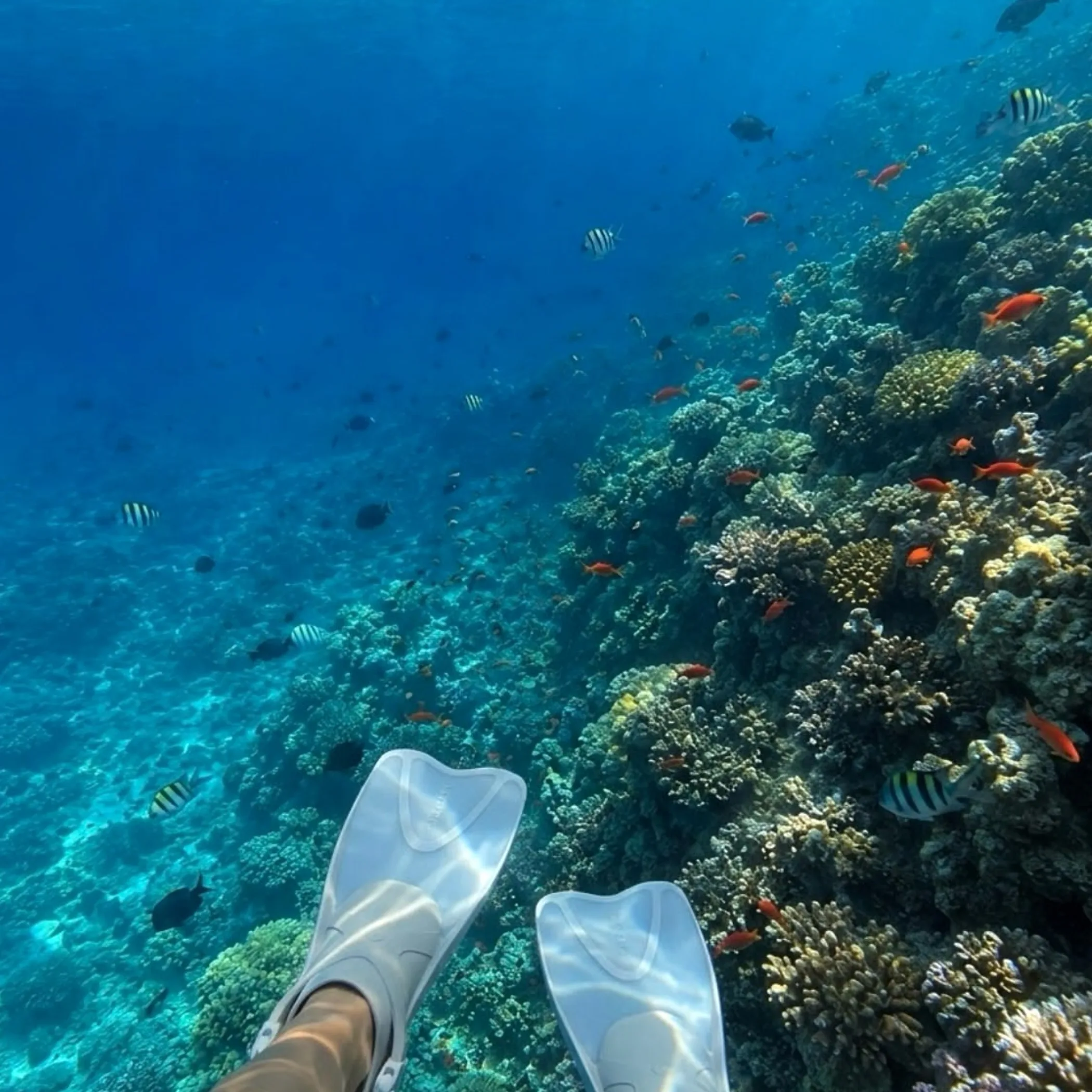
There is a way in which K’gari has been an aid to the growth of the Great Barrier Reef, and it comes down to a matter of time, water and sand. With the evolution of the Cooloola Sand Mass and K’gari Fraser Island, longshore drift has been at work transporting vast amounts of sand up the Queensland coast to the north. In doing so it has kept some of the sediment on land and less of it washing over the continental shelf; the resulting clarity of the water is what coral needs.
Not that one can put the building of the Great Barrier Reef at K’gari’s door alone. You have to factor in the chemistry of the water, its temperature and salinity, sunlight, sea-levels, hard surfaces for the coral to hold on to, not to mention storms and currents. K’gari is but a geological part of a bigger tale on the coast. I am Thomas Rourke and I prefer my geology to be of a kind that holds up when you are out on a beach with sand in your shoes and a mozzie making itself at home.
The Connection Between Sand Island and Reef
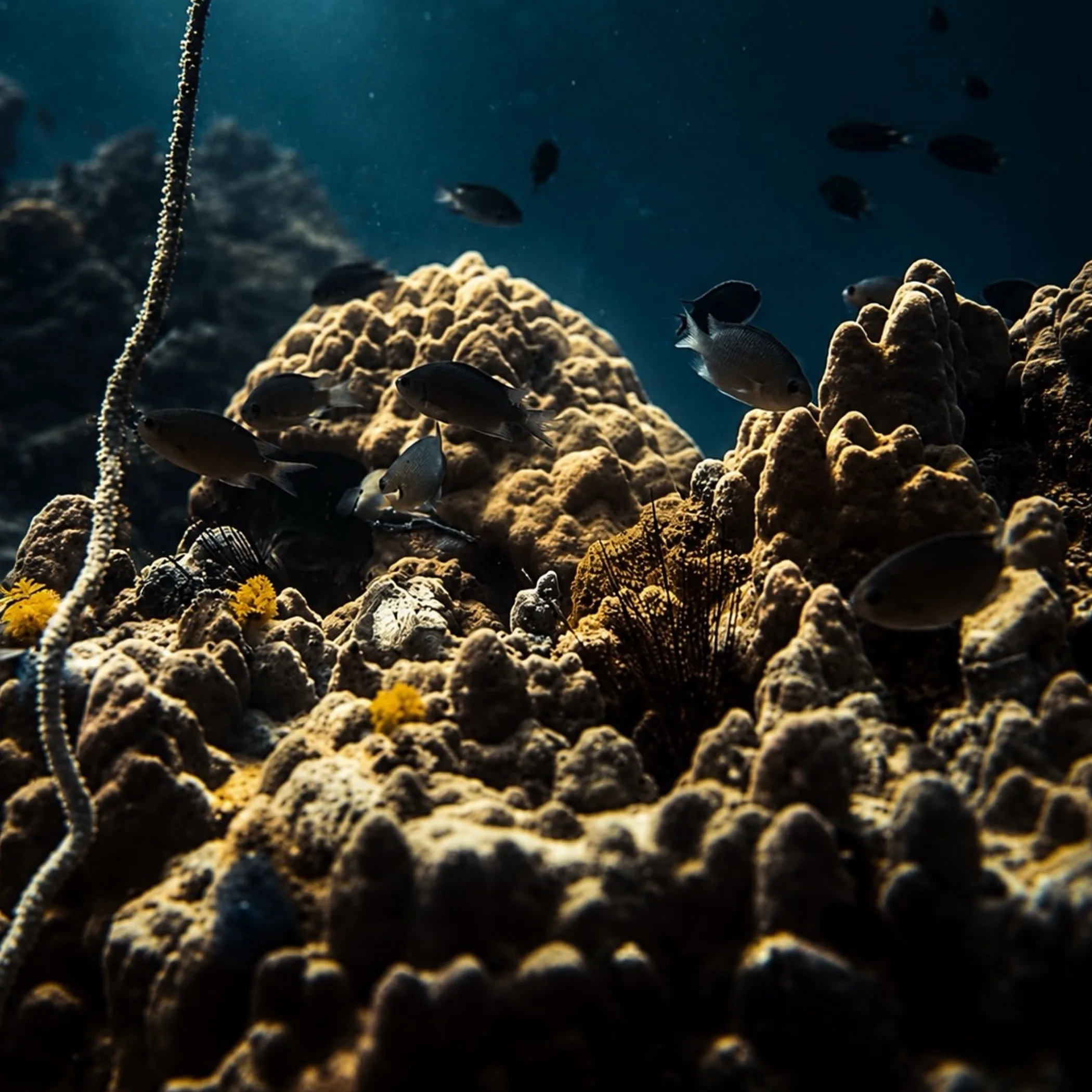
Off the south-east Queensland coast lies a large sand island known as both Fraser Island and K’gari. The latter is the official appellation, befitting the Butchulla cultural identity of the place, though the former will be found in travel writing and on old maps and in common parlance.
For reef science the island is of interest in more than being a heap of beach sand. It figures in the wider coastal sediment system, a system of some antiquity that dictated the path and accumulation of sand. Hence its bearing on the formation of the Fraser Island coral reefs and the geological origins of coral structures.
One Island by Two Names
As a World Heritage site K’gari has its share of ecological, geological and cultural worth. The name has been changed to better describe and put recognition where it is due, if not to alter the geology. In any discussion of Butchulla Country these days one would do well to use K’gari.
The practicalities for the visitor are as they have always been: soft sand, a barge for vehicle access, and tides to be timed. A good driver with recovery gear and the right tyres on a hire car is of far more service than the sort of confidence one might pick up in a suburban car park on a fine afternoon.
The Making of K’gari
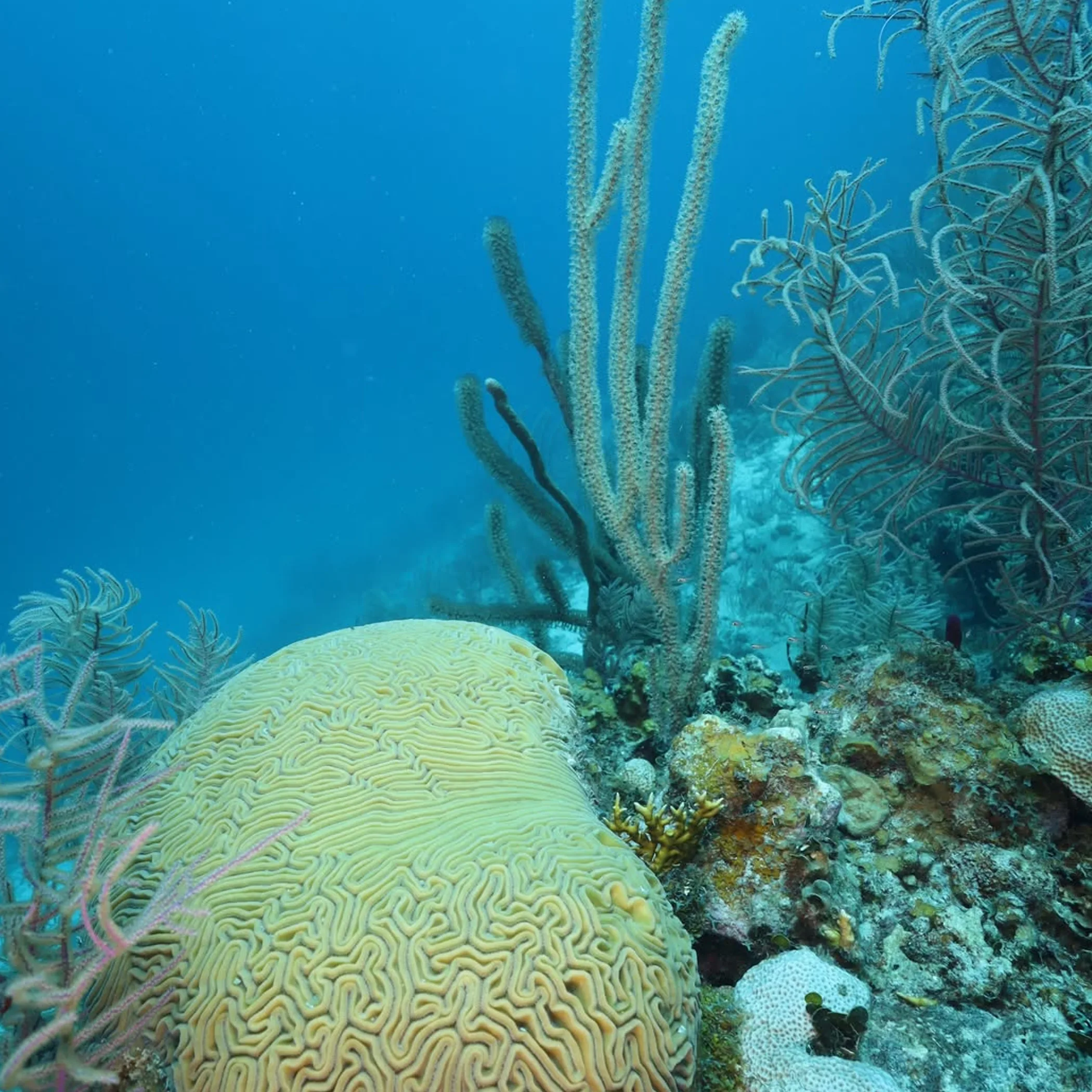
To appreciate the lasting impact on the marine environs one has to look at how the island came to be. It was no single event with a neat beginning and end. Over the course of geological time there were cycles of dune building, weathering, sea-level change and the supply and transport of sand.
Scientists will tell you K’gari is linked to the Cooloola Sand Mass and to the mainland. Currents along the shore and the action of wind and waves made for a sizeable body of sand capable of holding onto sediment rather than letting it all go into the water.
A Tale of the Middle Pleistocene
During the Middle Pleistocene the environment was in flux. Rivers and beaches put down their sediment under varying conditions as sea levels went up and down and the coastline moved. This had an effect on the island and on the continental shelf in its vicinity.
With optically stimulated luminescence dating a researcher can put a figure on when quartz grains were buried after their last encounter with the sun. Put simply it tells you when a layer of sand was put in place. It is not a birthday for the island but it does give you the timing of the sand system in stages.
Sand in Stages
It is a mistake to think an island of this magnitude is the product of one big pile of river sand. K’gari was put down and reworked. The sand would come and go, form a dune or beach ridge and then move again with the coastline.
Such a staged approach is significant. With the accumulation of sand the system could put aside more sediment. It is a slow process but not without consequence. Even a dripping tap will fill the bucket given a few thousand years.
Longshore Drift
This is the business of moving sediment sideways on the coast. An incoming wave will angle up the beach with the sand and draw it back to the sea in a straighter line. Do it enough and you have a conveyor belt of some power. The east coast of Queensland has seen sand carried north by the action of longshore drift. In the course of that coastal system, the Cooloola Sand Mass and K’gari have been the principal places for its storage. The island’s size is testament to such migration, as is the fact that not a grain made it to the adjacent seabed from what the rivers, weather and beaches put out there.
A Coastal Conveyor Belt
One can think of the coast in terms of a conveyor belt: material is put on at one end by the beaches and waves do the rest of the moving, with islands and dunes serving as bays for storage. K’gari is the most conspicuous of these, if the metaphor does not do justice to the less orderly reality of the process.
Then there is the wind. A strong onshore breeze will take sand from the beach and put it in dunes. Younger deposits are at the mercy of storms to be eroded or put about, whereas older ones are put in their place by plants. In this way the island is an archive of coastal movement as much as a barrier.
On the Importance of Sand Direction
Sediment on the move will determine the chemistry and clarity of the water. Should fine sediment make its way in any quantity into the shallows of the marine environment, it has the capacity to cloud things and lay over coral colonies, robbing them of the light needed for photosynthesis.
Hence the utility of calling K’gari a sediment barrier, so long as it is not regarded as an impenetrable wall. It did not halt all of it; rather it would store, redirect or cut down on the supply of coastal sediment, making conditions more amenable in some of the offshore and northern areas.
Shelf Sediment and K’gari
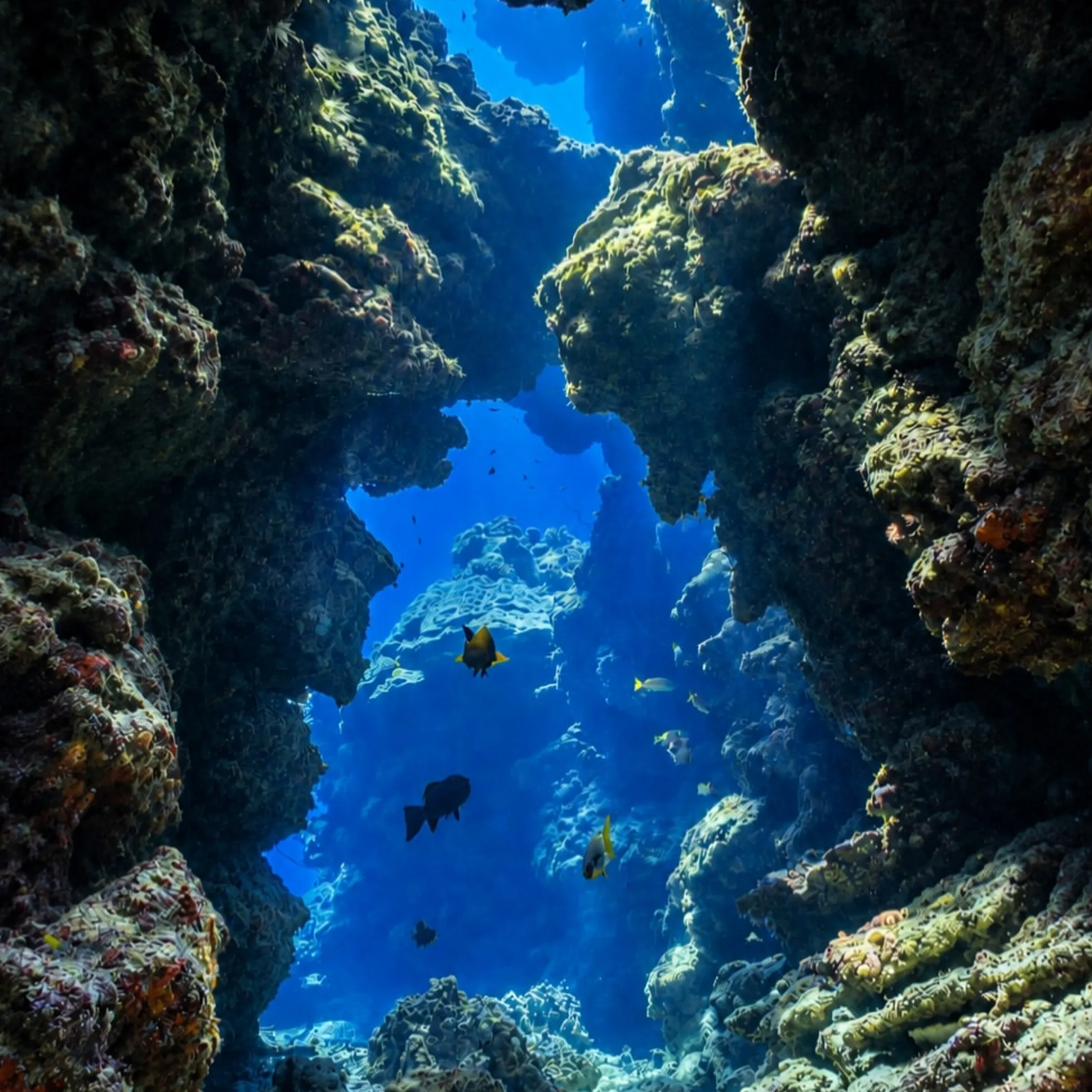
For coral reefs to thrive, the fundamentals have to be right. Corals need the right salinity and temperature in the water, enough light and something to hold on to. Too much sediment upsets several of those requirements.
K’gari has kept a good deal of sand on land, which in turn may have lessened the sediment load on the continental shelf. Clearer water was the result, permitting coral communities to put down roots. It is an indirect connection: the island does not feed the coral but it has helped make the water in which they exist what it is.
Mud and Light
Reef-building corals harbour microscopic algae in their tissues; without light the algae cannot photosynthesise. If the water is murky with fine sediment, energy production is curtailed and growth slows, not to mention recovery from a storm. While clear water is no guarantee of health and will not of itself put a reef in place, a lack of turbidity is one obstacle removed. Here the sediment barrier has rendered the coast more suited to the long term development of coral.
What the evidence tells us
In Nature Geoscience the geological record of the Cooloola Sand Mass and K’gari is put forward in support of the conditions under which the Great Barrier Reef came to be. The case is best made as a matter of landscape scale, relating water clarity to the reduction of sediment and its storage.
Scientists are careful to separate interpretation from evidence. One can tell from sea-level history, dating and the age of the reef when conditions altered, but not always that a given process was responsible for every pattern that followed. The prudent view is that K’gari has been a factor in creating a propitious environment for the reef, among other things.
| Feature | Approximate or recognised fact | Why it matters |
|---|---|---|
| K’gari’s length | Some 120 km | There is ample room along the coastline for dune and sand storage. |
| World Heritage area | In the region of 184,000 ha | An indication of the magnitude of the sediment system. |
| Great Barrier Reef | 2,300 km or so | It is too extensive a network to be put down to a single island. |
| Optically stimulated luminescence dating | Key approach | Gives an idea of the last time buried sand saw the sun. |
Coral and Clear Water
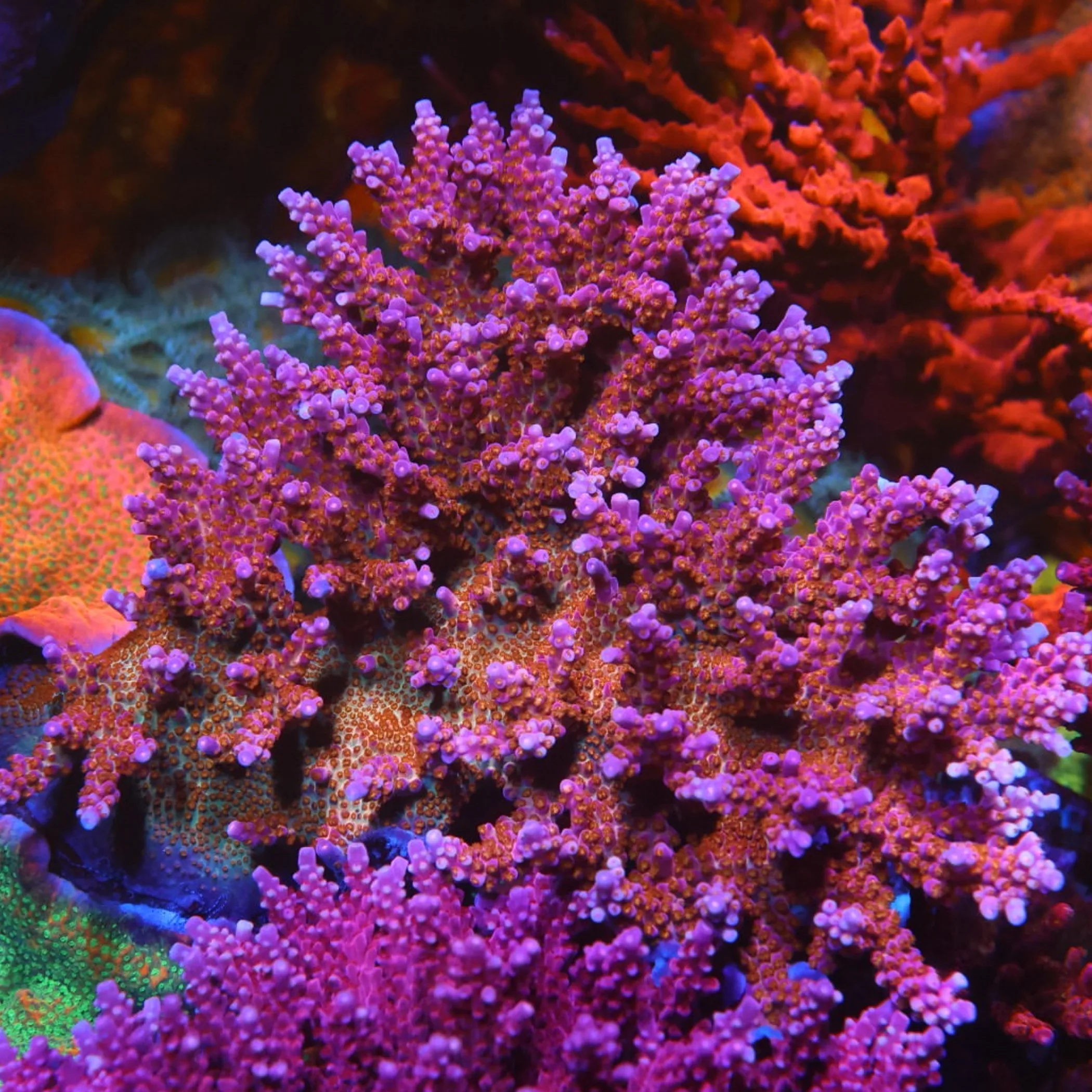
With sunlight able to get through to the shallow sea and less fine sediment to settle on them, coral could grow and put in place their carbonate frameworks over time. They pull minerals from the sea to make calcium carbonate skeletons; in the fullness of time the living organisms build the solid habitat of the reef. But it is a slow, cumulative business, liable to be upset by a severe storm or muddy runoff.
A Stable Window for Coral
A single good season will not do for a reef. There must be repeated intervals where the light, the chemistry and the water movement are within tolerable bounds. A change in sea level might open up new habitat in the shallows, yet a quick shift in the environment can be damaging to what is already there.
With carbonate in the water to aid in building skeletons and little sediment stress on them, young colonies are more likely to make it. In that sense K’gari’s role was to put the odds in their favour over a wide expanse of coast, not to put in a press on some “reef growth” button of the imagination.
The Resetting Power of Storms
Clear water is no protection from a cyclone or a big storm; they will put an end to coral colonies, displace rubble and alter the face of the reef. Floods bring with them low-salinity water and a surge of sediment. One could call the coral ecosystem hardy, but hardy does not mean you can break it.
Visitors tend to draw the wrong conclusions from what is before them. A healthy patch of coral is no proof of K’gari’s handiwork any more than a reef in disrepair refutes the geology. You have to look at patterns spanning millennia for the reef’s history, not a single stop on a snorkel.
Links to the Southern and Central Reef
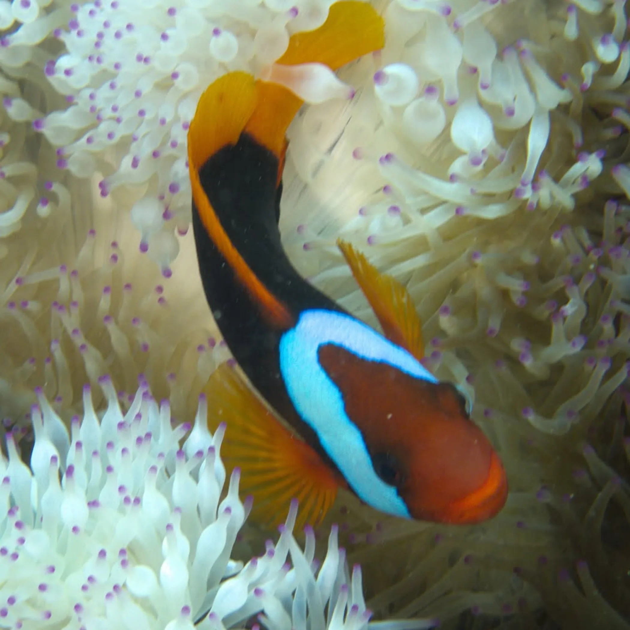
In any talk of the southern or central Great Barrier Reef, K’gari is pertinent. Although the island is to the south of the main reef province, its past as a source of sediment may well have had an effect on the seabed and water quality further north.
It is a regional connection. The Great Barrier Reef comprises a host of things: shoals, islands, channels, continental-shelf habitats and the reefs themselves. Over such distances there is interplay between the coastal geometry, river discharge, sea-level history and the currents.
A Straightforward Chain Reaction
What has been put forward is simple enough. Sand was carried north by longshore drift and much of it put into storage by K’gari and Cooloola, leaving some marine areas with less of it and the water better for corals that need light, affording the reefs improved conditions in which to develop over time.
There are caveats to each link. Weather dictates water clarity, sand is not so obliging as to go in a straight line and coral will put up with local conditions in its own way. But as an account of how Fraser Island and the reef came to be, the chain reaction is useful without making out that nature works to a formula.
Reality as Against Expectation
One might expect K’gari to have made the Great Barrier Reef. In reality it has done something to the clarity of the water and the way sediment moves, perhaps lending support to the reef within a greater system. The rivers, the temperature, the biology of the coral and the like have done the rest. It is an important distinction to maintain scientific integrity; K’gari is influential in geological terms but hardly the reef’s only architect.
The Scientific View of K’gari
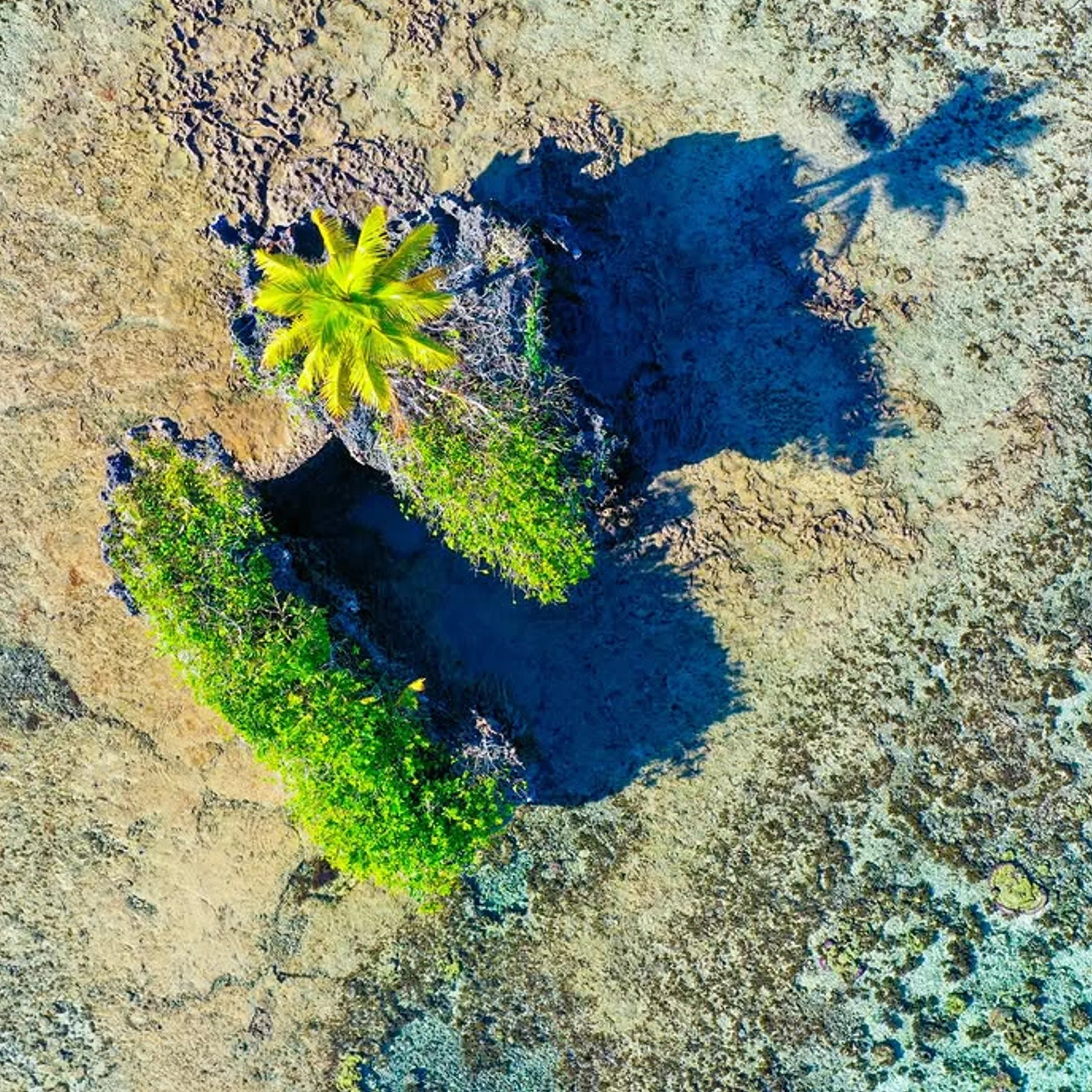
To scientists the island is indicative of a coastal sediment system of some standing. The dunes and sand bodies here, and the ties with Cooloola, are instructive as to how the beaches and islands of Australia can put sediment away over the course of geological time.
As for the reef, that is where marine evidence and geological dating come together. Researchers will test for a link when they see a logical progression of reef development, diminished sediment and sand build up. They find that more dependable than a good story from a day of snorkelling or one beach profile.
Lessons for those who come to K’gari
The science becomes apparent if one takes the time. Make note of the contrast between the older deposits inland and the vegetated dunes and the sand on an active beach. See the wind at work on an exposed surface or how a track gets rough in a hurry as tyres sink in.
Then there is the matter of practical access and what can be viewed with safety. Tides, weather and the need for a barge or four-wheel-drive can make a route that seems short take all day. Have a paper map and satellite communications at hand, along with your recovery gear and provisions. Do not count on good mobile reception and the dunny may be some distance from where one would like to think.
A Sensible Plan for Your Visit
If making a day of it, best to put an accessible part of the island first in order rather than attempt to see it all. Those with no experience of driving on sand might find a four-wheel-drive tour with a guide preferable. An independent party has to make their own arrangements for vehicle access, permits, fuel, barge schedules, tyre pressures and how they will get back from the beach.
Put together transport, what the park demands, your food and a place to stay and you are looking at a three-figure outlay in AUD; the precise figure is down to the operator, season and vehicle. Before leaving, have a look at Queensland Parks and Wildlife for any safety notices or closures and to check on permit and access conditions. The UNESCO K’gari World Heritage listing is another source of authority on the natural and cultural importance of the island.
- Who it is for: the patient coastal observer, as well as those with an inclination for geology, ecology, guided natural history and four-wheel driving.
- Exercise care when: relying on a mobile phone for navigation, if tides are uncooperative, you are without recovery gear or are at all unaccustomed to the beach.
FAQ
To clear up some of the confusion over K’gari, the reef and the way the sand moves, here is a brief answer: the geology provides the setting, but it is the living coral and the state of the ocean and climate that take it from there.
What determines where the coral is?
It is a matter of water temperature and movement, salinity, depth, sunlight, sediment, carbonate levels, the type of seabed and sea-level change. Then there are human impacts, disease and storms. In some coastal waters K’gari has served to keep sediment at bay.
In what way was K’gari put in place?
By the accumulation and shifting of sand over geological time. Dunes, wind, longshore drift and fluctuations in the coastline and sea level have all been at work. Researchers can put an age on the buried sand deposits with optically stimulated luminescence dating.
The name Fraser Island is now K’gari. Why?
To give due recognition to the Butchulla name and the culture of the island. While some travellers are still used to the old appellation and it is found in historical accounts, K’gari is the proper and respectful term to use.
What makes it a World Heritage Site?
Not just for its ties to the coral reefs but for the island in its entirety: the dune systems and large sand formations, the forests and freshwater lakes, the very processes at work. All of this gives it exceptional value.
Is the Great Barrier Reef K’gari’s doing?
Not by any means. There is a barrier effect from its sediment which has made for clearer water conducive to coral in some areas, but the reef is also the product of currents, biology, chemistry in the water and the like.
Geologically speaking
K’gari offers an instructive view of how landscapes are linked. Sand on the beach will have its say on the clarity of the water offshore, which in turn can impact on microscopic algae, allowing corals to put down structures that last millennia.
Ask about K’gari Fraser Island’s part in the growth of the reef and the truth is it was a major store of sediment in the coastal system, creating the right environment for the coral. Not the entire story but a very significant part of it.